Field Report
A Bloody (Good) Mountain Run
The first snow-free alpine run of the Eastern Sierra summer season

The Eastern Sierra is finally shedding it’s blanket of snow and greening up, yet somehow days are already becoming shorter. Summer solstice passed last week. We’re just now entering prime alpine ridge running season after a record setting winter—better late than never.
Tomorrow, weekly errands have me driving into Mammoth—a good excuse to do something nearby. Eastside Trail Runners recently hosted a run in the area. Their routes avoid most snow. Pulling up the weekly Sentinel satellite tile set confirmed that. But what surprised me was a clean snow-free line heading up the ridge from Bloody-Laurel Col to the summit of Bloody Mountain. During the winter this line gets rocked by high winds and intense solar action. It now being snow free isn’t necessarily unexpected; it’s more post traumatic shock from the winter of seeing anything clear of snow.
A cold snap moved through last week. Below freezing overnight and warming into the 50s for a high by afternoon. Extremely mild weather for July. The forecast calls for heat to move in this holiday weekend. No chance of storms and calm winds, but likely to be toasty.
Everything considered, Bloody is a great option. Let’s give it a go.
The amount of water running out of the mountains has done significant damage to dirt roads in the area. While on a run in the June Loop I came across a truck next to Gull Lake sunken up past it’s axels in nasty mud. Walking past the truck, suddenly the mud was up past my knees. The driver and his passengers were rightfully frustrated. I gave them the number for a local who owns what is essentially a monster truck to help people in these situations.
Fortunately Sherwin Road, the dirt and gravel road leading to the trail head, is in relatively decent shape.
My car swings into a turnoff, casting a cloud of dust across the signage for Laurel Lakes. Briefly cammeling up on water and tossing on the kit. A quick review of the route.
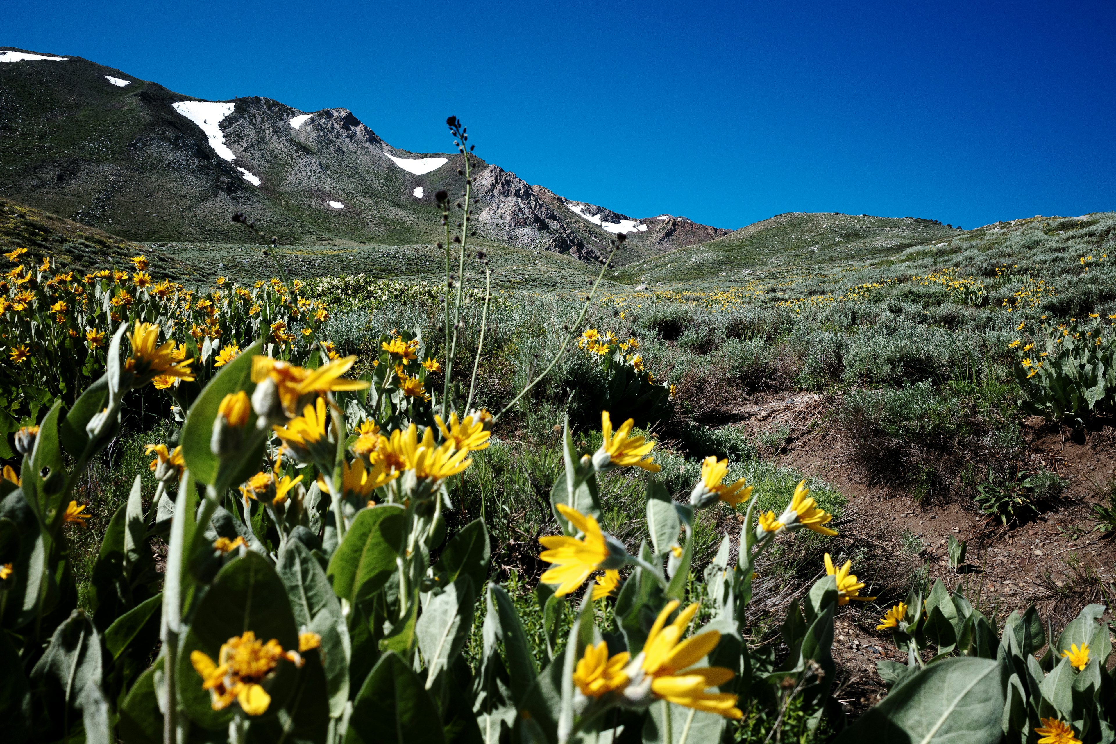
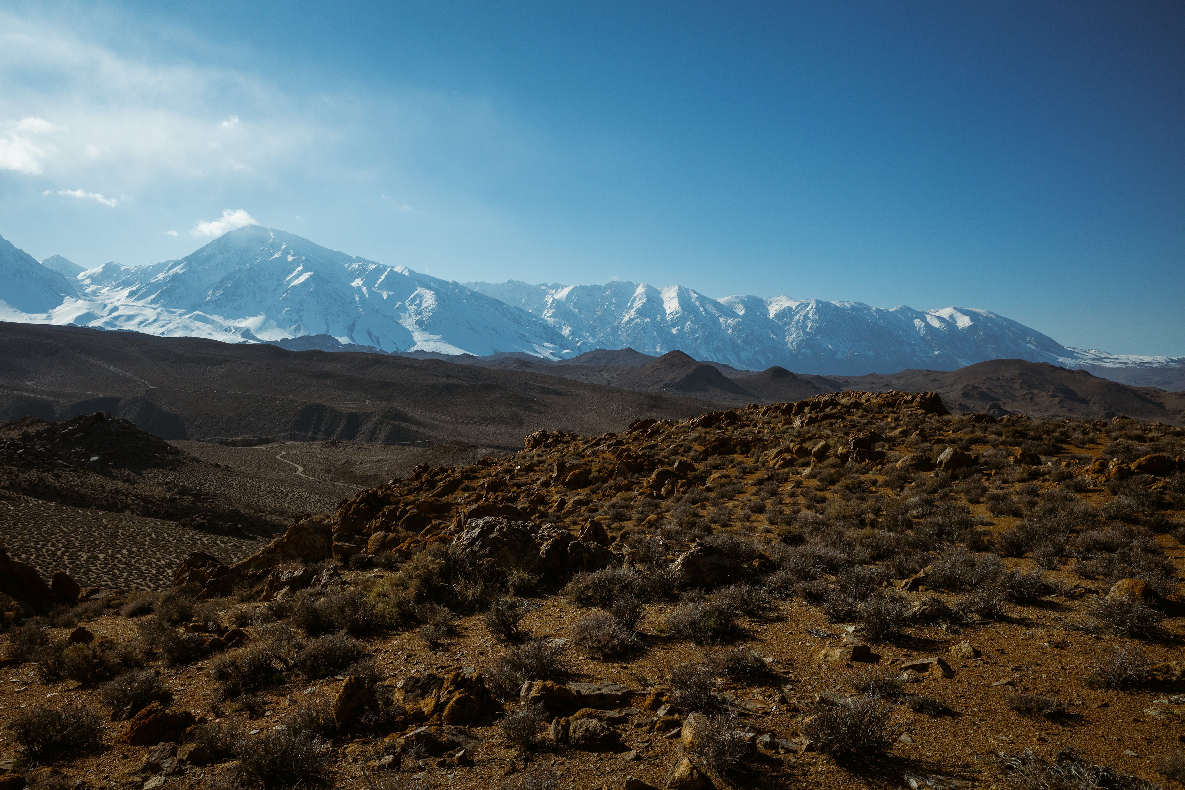
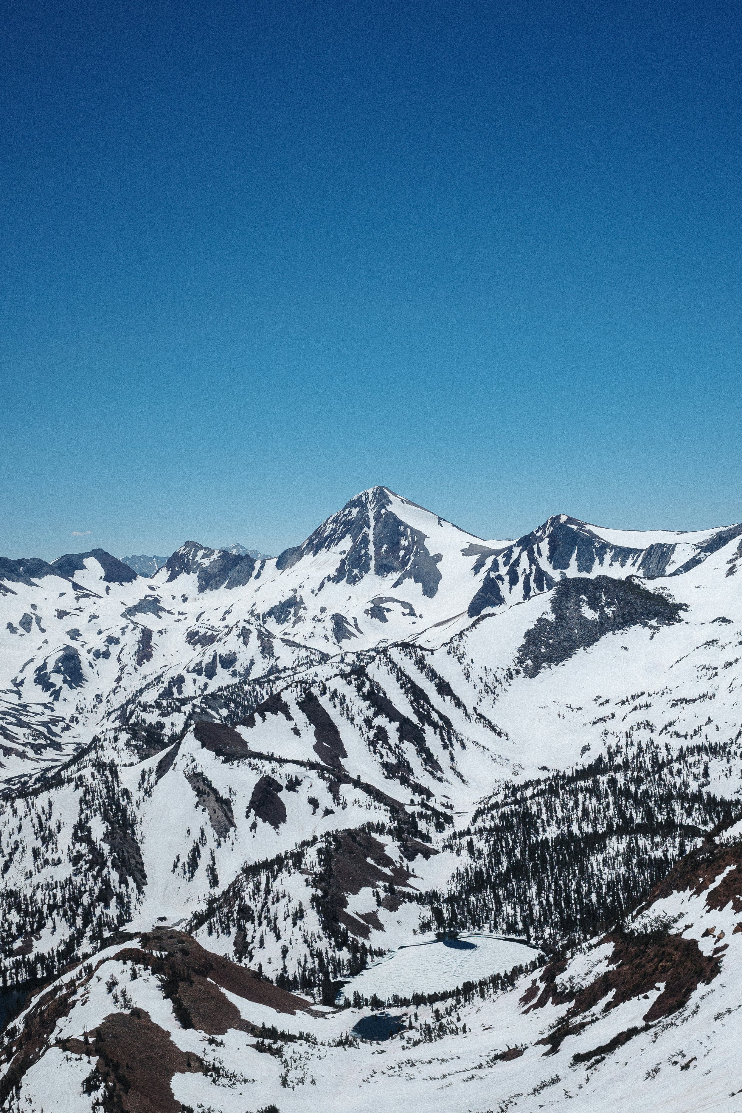
Easing into a light run up the rutted and sandy access road, the grade soon increases, and so does the heart rate. Jogging quickly settles back to a brisk walk. Gradually the inclination decreases when entering a wide basin. Big views of the Sherwins to the north, and a record amount of snow clinging to the alpine. The light run makes another appearance, keeping it mostly aerobic.
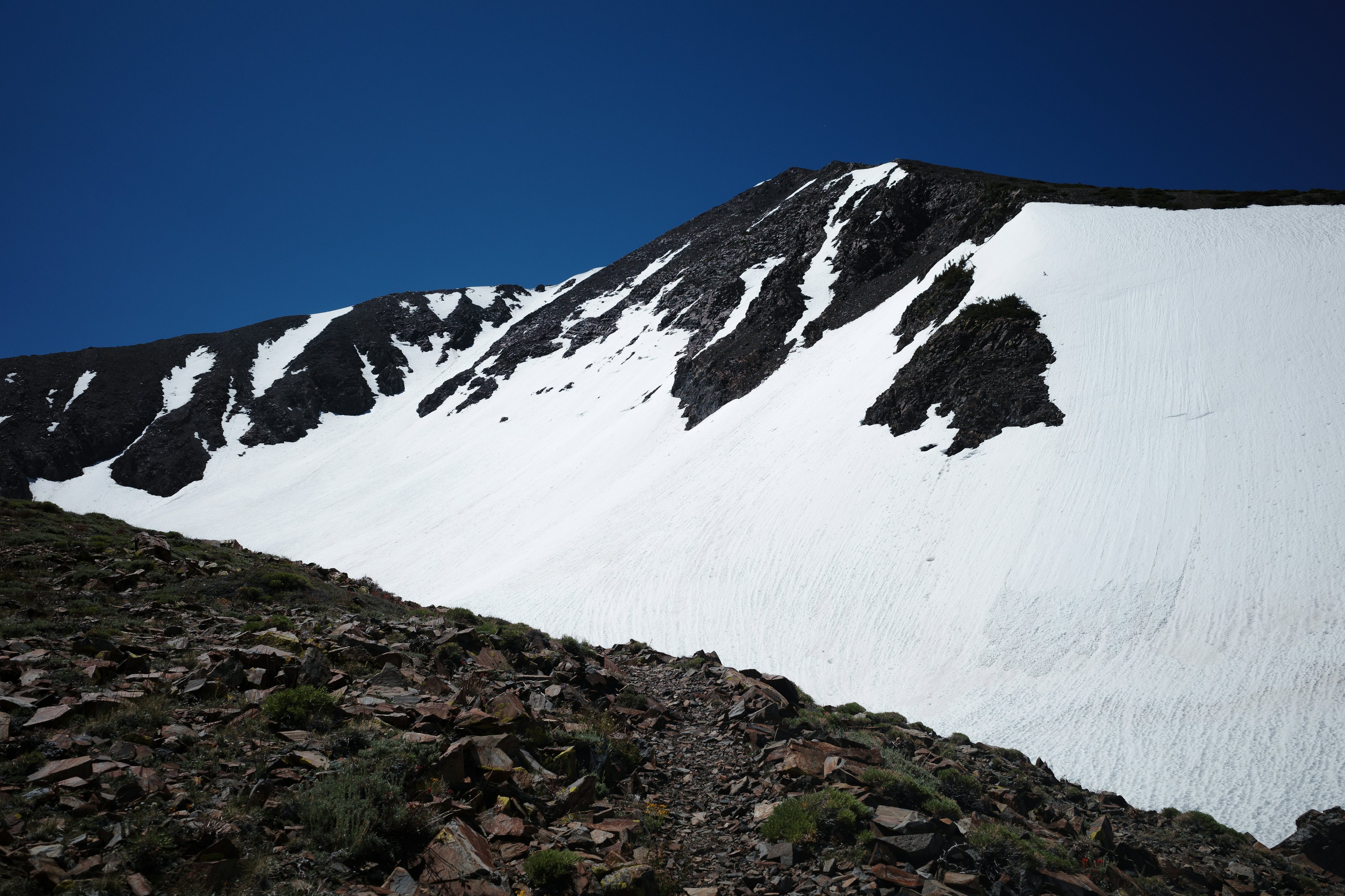
Dry trail becomes snow pitted deep with sun cups, some waste high. It’s still firm-ish, but easily edgable. Muscles tense while working to stay stable on the slippery surface. My attention, directed towards not eating shit, misses the obscured trail up the saddle between Laurel and Bloody. Navigational gaffe, perhaps number one?
A little class two scrambling and more snow eventually leads to the saddle. The views across the col towards White Fang and Red Slate are incredible. It’s surreal how much snow fell this winter, and how much remains. There’s evidence of a recent wet loose avalanche across the valley. It lays beneath a line of tightly spaced footprints, looking to have been triggered by small game.
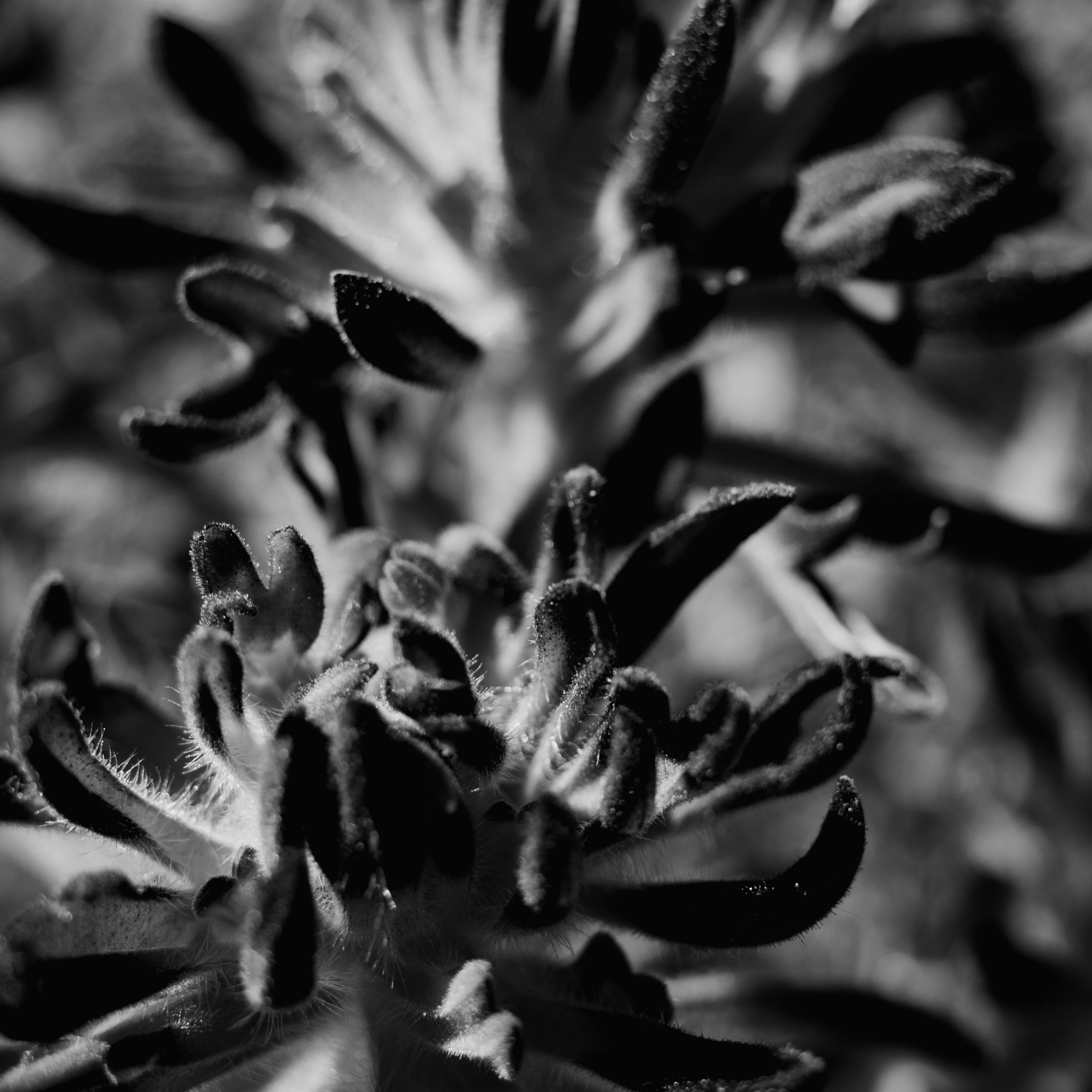
A siesta sounds right, although I’ve been to this saddle before when sumitting Laurel, this is my first time up Bloody. My rule is to enjoy the first time, and stop however often feels right. If I want to establish a respectable time for myself I’ll plan a second trip. I sit down beneath an incredibly resilient wind swept pine. Snacking with a view.
The ridge to the summit begins calling my name, and I set off again. The climb is steep, but never exceeds class two. As the day progresses the snow continues to soften, especially along these south-east faces. Driving the 395 south, often a few times a week, this ridgeline is perfectly framed between the Jeffery Pines lining the sides of the road.
It’s remarkable up here.
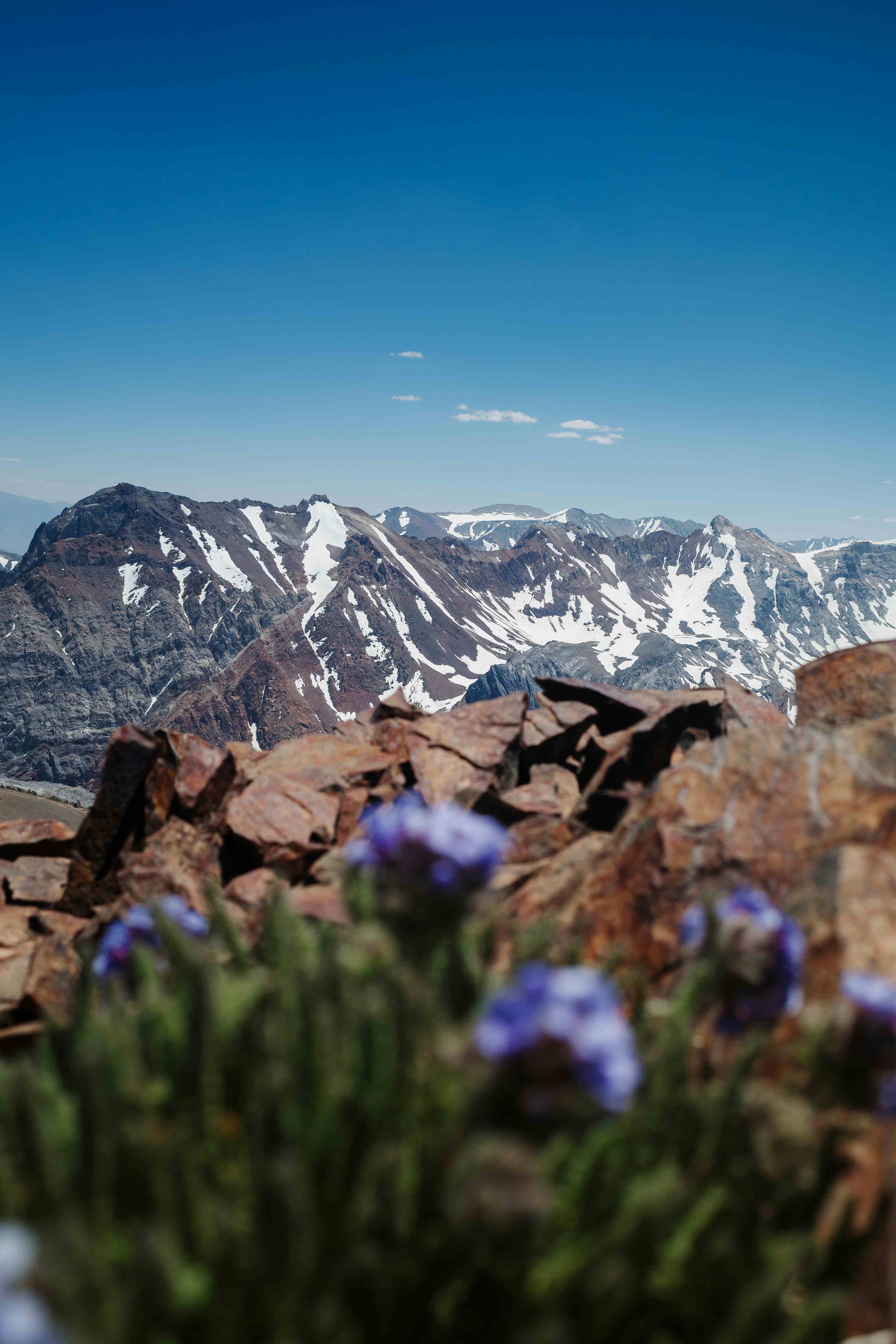
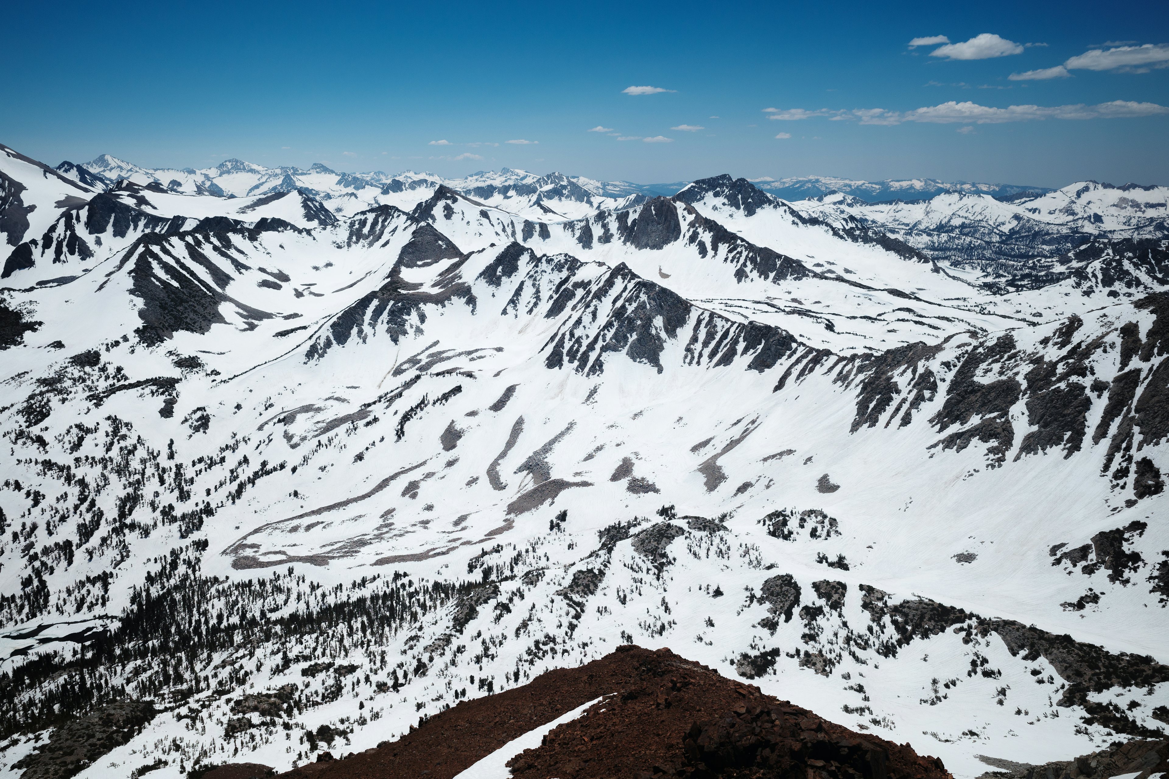
The summit, at 12,552 ft, comes into view and the panoramic perspective exaggerates the sense immense amount of snow coverage from the saddle. Red Slate appears massive, and I think back to standing on it’s summit late last fall just before the first snowfall of a record setting season.
Across Bunny Pass and Lake Dorothy your eyes can’t help but pass through the center of Red Slate’s pencil thin North Couloir. The feature appears almost virtual—a perfectly straight vector down the north face.
This winter was my first on skis. Standing at the top of Bloody Couloir with snow still in, and this being the first alpine run of the season, I’m asking myself “what am I doing here without skis?” It’s a funny feeling knowing that this would take minutes to descend on planks.
This time, the shoes will have to do.
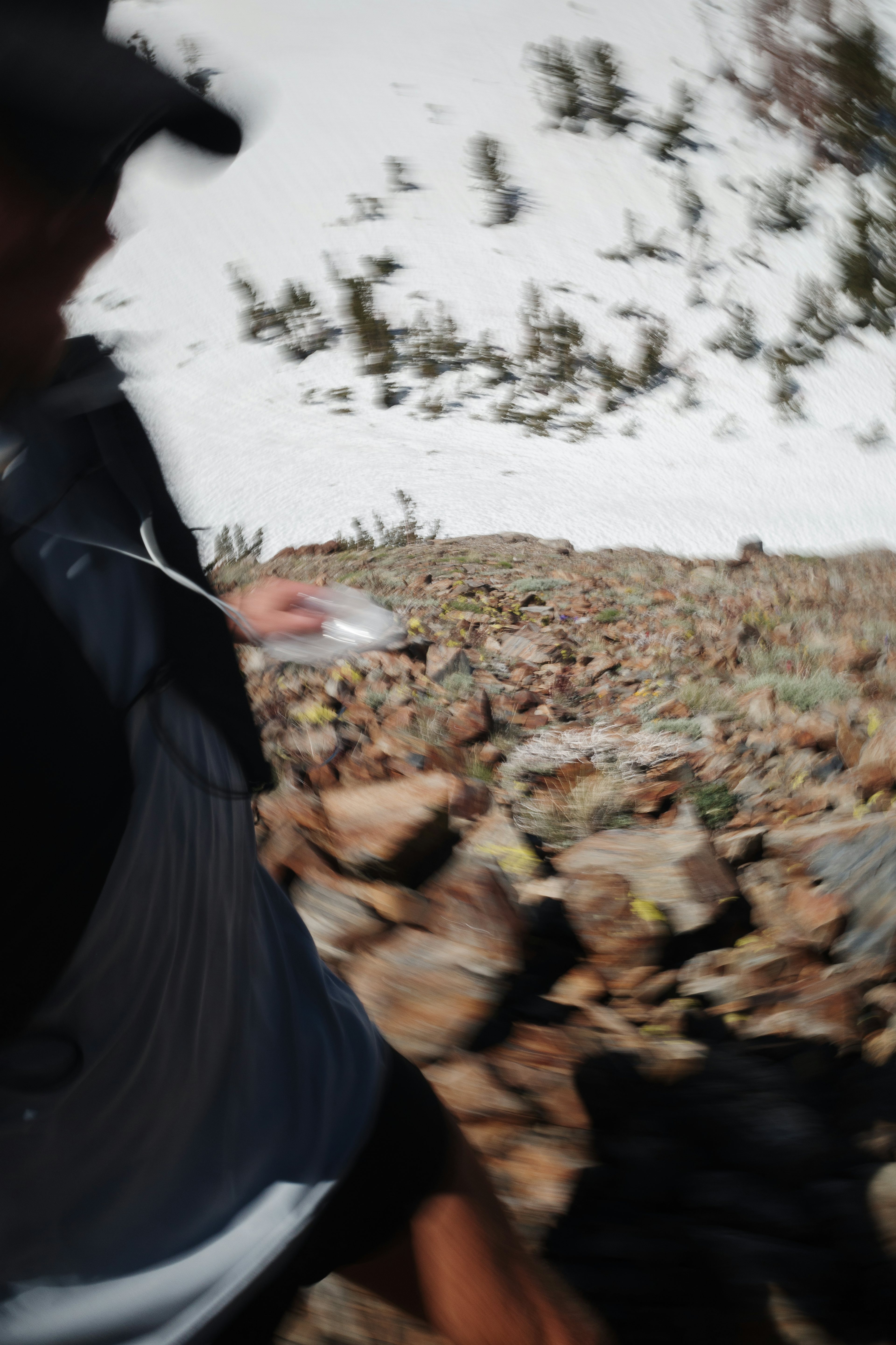
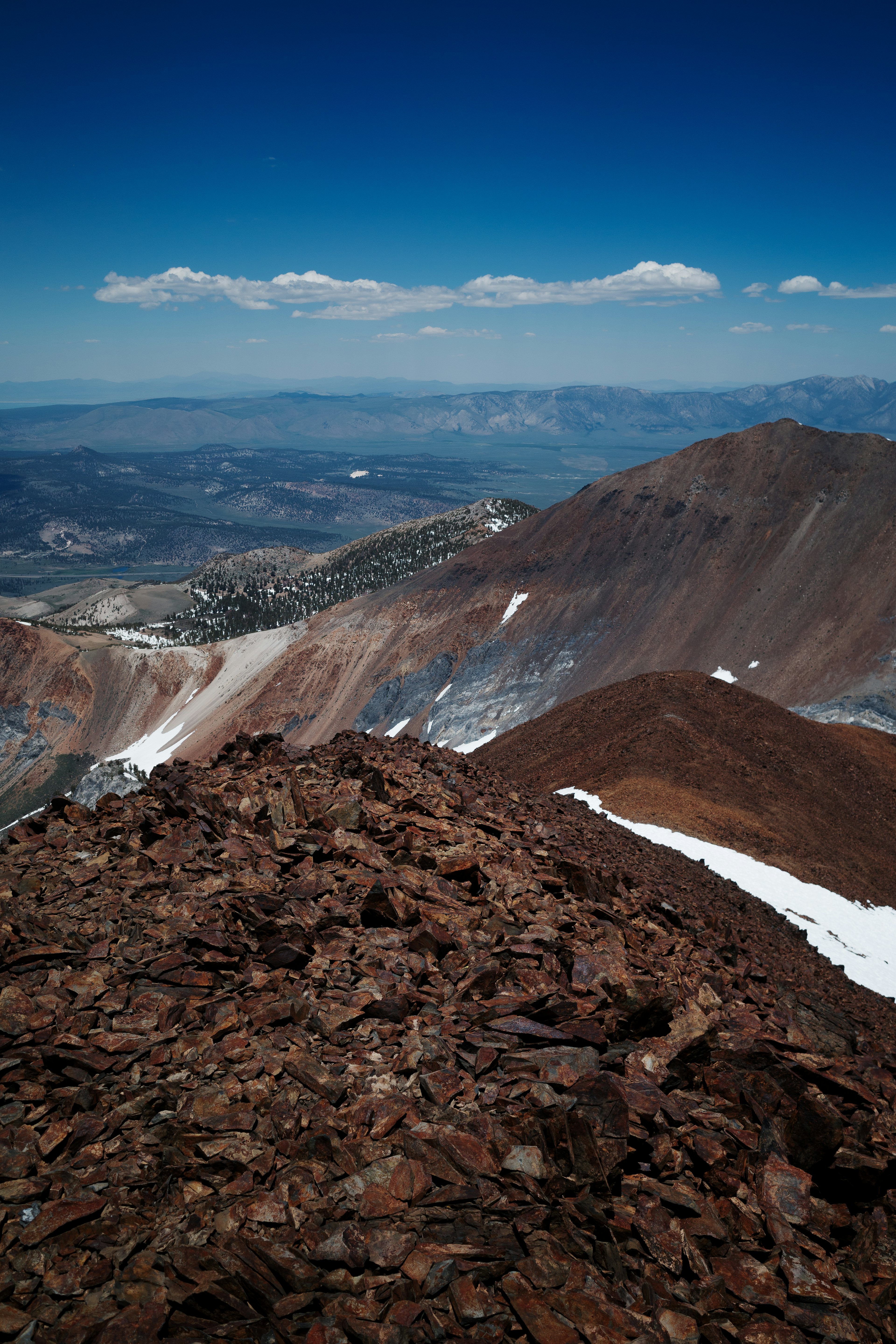
After signing the trail register and taking in the views I begin running the descent. The snow patches are fully mashed potatoes by now, and at one point I post hole up to my waist.
Although the origin of the name Bloody is unclear, it would not surprise me if the rust-red color of the rock I’ve been staring at along the descent. From this perspective, Laurel looms over the expansive Long Valley Caldera and Glass Mountains.
It doesn’t take long to reach the saddle. The sun cups are far deeper than the shallow pockets just descended. After a mile or so my legs begin to cramp. It’s too soft to step on the edges of the cups. They provide no support and collapse. Stepping out of each cup requires lifting the foot well past the knee. My legs begin to cramp, so I stand in the snow trying to sweet talk my thighs into loosening up.
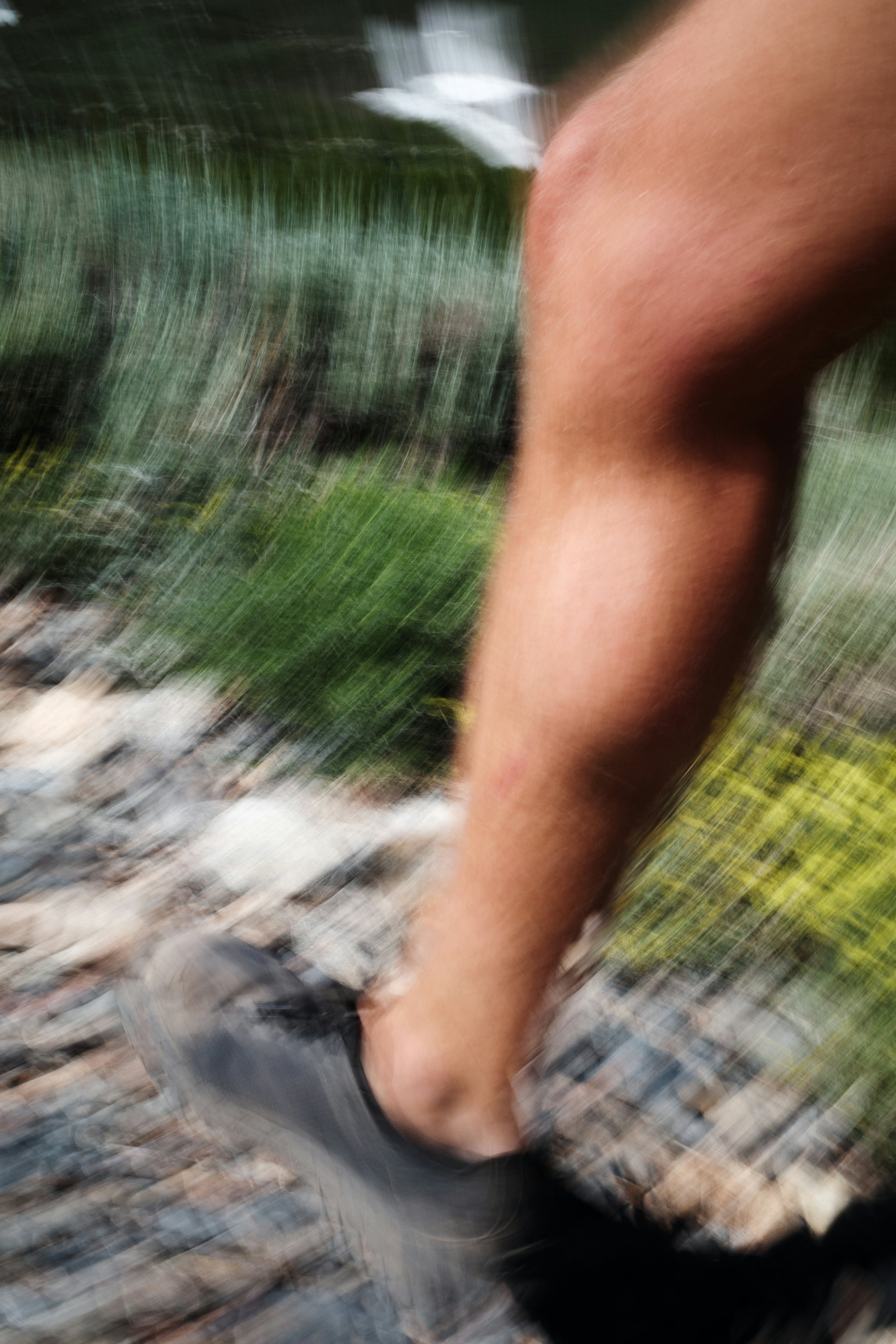
The sun cups lead to dry trail once more, and I begin running. The final few miles past quickly. Soon the car comes into view. The thermometer on the dash says 90°F. An exaggeration, but you could’ve fooled me.
A memorable first alpine run of the season.
I’m looking forward to more.